3D GIS Client Development Platform
Free, Open, Extenable
Free, Open, Extenable
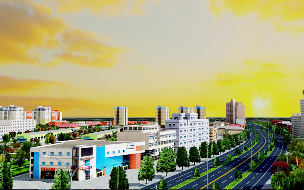
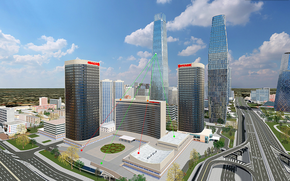
SuperMap iClient3D for WebGL/WebGPU is a three-dimensional client development platform based on WebGL or WebGPU technology can be used to build plug-in-free, cross-operating systems, and cross-browser 3D GIS applications. It supports loading a variety of services published by SuperMap iServer, and has implemented functions such as 3D scene visualization browsing, interactive operations, and geographic information management. Through this product, you can quickly achieve aesthetically pleasing and smooth scene presentation and 3D spatial analysis on browsers and mobile devices (WebGPU is not yet supported). Starting from SuperMap iClient3D 2023, the product supports both WebGL and WebGPU rendering engines, and uses the same set of API interfaces, which facilitates users to quickly switch according to actual needs and reduces migration costs.
Based on the new constructionof modern web technology stack, it is the unified JavaScript client for the SuperMap Cloud GIS and online GIS platform products. It integrates leading open-source map libraries and visualization libraries, and its core code is fully open-sourced under the Apache License 2.0, connecting SuperMap with the open-source community. It provides brand new features for big data visualization and data flow visualization, and through this product, you can quickly achieve aesthetically pleasing and smooth map presentation and spatial analysis on browsers and mobile devices.

Physically Based Rendering (PBR) materials, screen space reflections, depth of field, and various other effects enhance the overall visual effect, making the 3D scene more realistic and aesthetically pleasing.

Provides a variety of high-definition visual effects, such as: fireworks, flames, rain, fountains and other particle effects, flooding, scanning lines and other post-processing effects, self-illumination, special effect lines, etc., making the scene more vivid and gorgeous.

Provides rich 3D space analysis functions to realize complex 3D space analysis.
Scene Effects: Added support for loading S3M tiles generated based on 3D flow field data.
Data Loading: Added support for loading low-altitude grid tiles generated after GeoSOT spatial partitioning.
Map Services: Added support for filtering and rendering REST map services published in workspace format based on attribute conditions.
Spatial Query: Added support for spatial queries in planar scenes.
Spatial Analysis: Added support for displaying bounding lines for point-attached external models.
Spatial Analysis: Optimized the line-of-sight analysis function, adding support for associating obstacle points/objects on the line-of-sight with their respective model layers.
Spatial Analysis: Optimized the openness analysis function, adding support for obtaining the ratio of visible to hidden parts of the analysis results.
Mapbox: Added support for setting custom request headers when loading Mapbox imagery tile.
S3M Layers: Added support for setting color modes for the style color and foreground color of S3M layers.
MVT: Optimize the text effect along the MVT line, supporting text parallel to the viewport or parallel to the line
MVT: Optimize MVT text display effect and improve text clarity
MVT: Add positioning to specified level
Scene effect: Added a water surface visualization effect that displays the direction of water flow with arrows
Scene effect: Post processing adds beam effects, which can simulate the Tyndall effect of light rays
Scene effect: Added support for obtaining point cloud data category IDs and setting colors based on category IDs
Scene effect: Added height fog to enhance the spatial hierarchy and environmental atmosphere of the 3D scene
Scene effect: Added support for water surface refraction, which can simulate real water surface reflections and reflected light spot effects
Scene effect: Added cumulus clouds to simulate real cloud effects
Scene Effect: Terrain Modification Added Support for Creating Sides, Suitable for Terrain Excavation
Scene effect: Optimize polyline effect to avoid jagged, blurred, and disconnected line segments in the scene
Visual field analysis: Enhanced visual field analysis capability, added support for 360 degree visual field analysis
3D spatial analysis: Added support for vertical and horizontal net distance analysis of 3D pipelines, allowing for quick viewing of pipeline anomalies, reducing construction risks, and improving underground space utilization.
S3M layer: Optimize the cropping effect of S3M layer and reduce the jagged edges of the cropped model
S3M layer: Added support for specifying a range through the front-end, requesting and displaying S3M model data within the range
Loading data: Added support for loading 3D Gaussian splash data of S3M tiles
Loading data: Added support for setting performance priority mode, with a frame rate of 25 frames or more for loading city level fine models, white models, oblique photography 3D models, and MVT data in low-end machine environments
Instantiate Layer: Add Color Replacement Mode
Loading I3S tiles: Added support for loading I3S services based on WGS84 Web Mercator OGC community standards
Model tile editing: S3M tile adds support for adding and deleting model objects in the front-end, and performing scaling, translation, rotation, replacement, and attribute update operations on selected model objects
Water Field Visualization: Added support for highly realistic visualization of water flow simulation results with time series calculated by hydrodynamic models
Interactive operation: camera optimization, middle mouse zoom to increase zoom inertia
Interactive operation: supports setting the up and down drag direction of the middle mouse button to be consistent with the camera pitch direction
Interactive operation: Optimize the vertex capture function of S3M model, which can accurately capture S3M model vertices and pick model edges
Enhancements to MVT Functionality: Facilitating the Reordering of MVT and Imagery Stacking Sequences.
Enhancements to MVT Functionality: When MVT and imagery are both affixed to an oblique model, there is support for adjusting the display sequence.
Enhancements to MVT Functionality: MVT supports loading REST map services with tileFeatures or style-specified features.
Visualization Effects: Multi-Viewshed Support for Clearing by Name.
Visualization Effects: Multi-Scan Line Support for Comprehensive Scan Line Elimination.
Visualization Effects: Support for setting the distance over which the transparency of model wireframes changes.
MVT Feature Enhancement: Now supports the display of MVT data aligned with 3D model data from oblique photography.
MVT Feature Enhancement: Now supports the display of annotations along the route in 3D text format.
MVT Feature Enhancement: Now supports text display based on model or terrain elevation when MVT is aligned with 3D model data from oblique photography.
MVT Feature Enhancement: Now enhances the spatial query capabilities of MVT data under a geographic coordinate system.
MVT Feature Enhancement: Now supports displaying text annotations with the browser's default font to resolve issues where Mapbox fails to recognize certain fonts, causing text not to display.
MVT Feature Enhancement: Now supports direct loading GeoJSON data into MVT layers.
MVT Feature Enhancement: Now supports loading MVT data published in WMTS format. Mapbox only supports the 3857 projection coordinate system, with global tiling and tile origin fixed at the upper left corner of the 3857 projection raster tiles.
MVT Feature Enhancement: Now supports loading MVT data encrypted with AES to enhance data security.
MVT Feature Enhancement: Now supports loading MVT data using multiple subdomains.
Now supports accessing Tianditu imagery services through URLs.
The WMTS service now supports setting the tile origin position to be compatible with the situation where the upper left corner of the image range in the new version of SuperMap iServer does not match the tile origin.
Now supports for loading map data in a 2D scene that is published through ArcGIS dynamic map services and tile map services, using local coordinate systems.
Now supports overlaying sunlight analysis results onto the model surface for display.
Visual Effects Enhancement: Optimization of model lighting and PBR (Physically Based Rendering) effects, making the model more 3D and realistic./p>
Visual Effects Enhancement: Now supports setting the movement speed of cloud.
Visual Effects Enhancement: Now supports setting parameters such as water surface color, water flow direction, water area range, and water flow intensity to simulate water bodies like lakes, rivers, and oceans.
Visual Effects Enhancement: Now simplifies the use of skyboxes by supporting the implementation of skybox effects through a single JPG or HDR image.
Visual Effects Enhancement: Now supports setting the horizontal rotation angle of the skybox.
Visual Effects Enhancement: Now supports setting a layered color palette using point cloud intensity feature values, where the maximum/minimum intensity is used as the maximum/minimum value of the color palette. The default maximum value of the color palette is 255, and the minimum is 0.
Visual Effects Enhancement: Now supports setting a layer color palette for cloud point data that includes features such as category, intensity, and elevation.
Visual Effects Enhancement: Now supports particle effect expression of hydrodynamic field models, which can dynamically display the velocity and direction of water flow.
Visual Effects Enhancement: Now supports multi-attribute switching expression in multi-temporal S3M tiles, allowing for dynamic display of changes in properties such as water temperature and depth over time based on a single set of S3M data.
Data Loading Enhancement: Now supports loading S3M 3.01 tile data.
Data Loading Enhancement: Now supports loading 3D Tiles 1.1 data.
Data Loading Enhancement: Instanced layers now support loading GLTF data compressed with draco through.
Data Loading Enhancement: Now supports loading I3S data as specified by the OGC Commity Standard 17-014r9.
Data Loading Enhancement: Now supports displaying the organizational structure (directory tree) of BIM data expressed in S3M tile format.
Operation Experience Optimization: Optimized the coordination inconsistencies between dynamic layer object operation and camera binding, such as stuttering issues with traffic simulation vehicle and label.
Browser Compatibility Enhancement: WebGPU client now supports Chrome version 113 and later.
Optimize the gyro effect when pressing the mouse scroll wheel, and support displaying at a fixed pixel size in the scene.
Optimize atmospheric effects to make the scene more soft and natural.
Optimize the ground surface transparency effect and fix the terrain cracking issue.
Now supports loading GLTF models with baked textures.
Fix bugs.
The scene has been set to ellipsoid mode by default
Water surface effects have been optimized
PBR material effects have been optimized
Shadow effects have been optimized
Anti-aliasing effects have been optimized
Support for partial updates of oblique photography model data, and when the scene is loaded, it can dynamically switch and display the oblique photography model data stored in different historical periods
Support for displaying contour lines attached to the ground when measuring surfaces on the ground
The model selection effect has added a highlighted model outline
Support for loading ambient light maps in HDR format
Support for setting water surface reflection clarity
MVT text supports visible gradients and annotations along lines
Optimize the performance of full loading and partial update of oblique photographic models in spatial index mode
Optimize the bearing capacity of large data volume BIM components