Terrain Data |
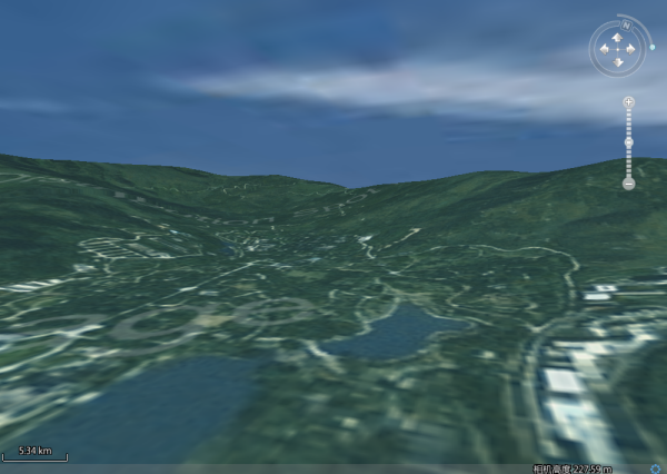
Terrain data is data that can represent the ups and downs of the earth's surface, that is, data with elevation information. Digital Elevation Model (DEM) is a continuous representation of spatial fluctuations, and it is a special DatasetGrid data model, the value of each grid is the elevation value, and there is a standard color table to represent, which is very helpful for the synthesis of the divided DEM image.
SuperMap 3D service supports preprocessing of DEM and Grid elevation data to generate 3D terrain cache data for publishing. That is, the elevation data is divided into layers and blocks according to the global grid subdivision model to generate a cache directory, SCT files (*.sct), which give a detailed description of the resulting cache, such as the number of cache levels, cache geography, cache file type, and so on. When the user loads the terrain cache data in the 3D environment, the corresponding cache data can be loaded by loading the index file of the terrain cache, and the terrain data can be added to the 3D sphere in the 3D scene according to the coordinate reference information of the terrain data, so that the surface of the sphere can truly simulate the ups and downs of the earth surface. The SuperMap3d service now supports terrain caches (sct, sci) that will be stored in block format, and its publish services method is consistent with the ordinary 2D and 3D terrain cache (*.sct).
SuperMap 3D service adopts the following methods to reduce the amount of data transmission and improve the efficiency of data transmission for the transmitted terrain data: