usingbyGeoprocessingModeler |
SuperMap iServer has a built-in processing modeler for visually constructing processing automation models. With the modeler you can:
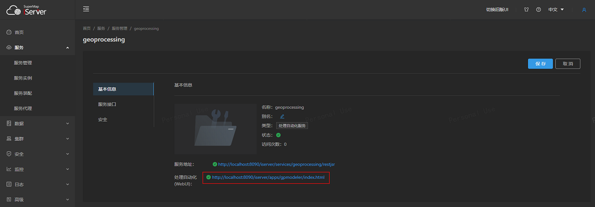
The address of the processing modeler page can be viewed on the basic information page of processing automation service management, as shown in the figure, and you can enter the processing modeler page through this link:
The page interface of the processing modeler is as follows:

The left side of the processing modeler page is the list of processing automation tools, the middle is the visual modeling canvas, the right side is the parameter setting window, and the bottom is the log output window.

Through the "File" drop-down box at the top of the page, you can import and export templates for processing automated modeling; the "Execute" button can run the built model; the "Cancel" button can immediately cancel the task in execution; the "Publish" button The built model can be published as a processing automation tool. After clicking the Execute Model button, the model is submitted for processing the automation task.
In the iServer service list, you can enter the root resource of the processing automation service through geoprocessing/restjsr under the processing automation service. The processing automation service root resource page provides a geographic tool list and a task list. Through the tool list, you can view all the tools provided by the processing automation service And the description of the custom tool you put in; enter the processing automation task list resource page through the task list, that is, you can view the corresponding processing automation task information through the task ID.