Overlay Analysis |
Overlay analysis is an very important spatial analysis function in GIS. It refers to the process of generating a new dataset through a series of set operations on two datasets under a unified spatial reference system.
Three datasets are involved in overlay analysis. One is source dataset, the type of which can be point, line or region, which is named as the first dataset in SuperMapGIS; another is overlay dataset, the type of which is region in general, which is named as the second dataset in SuperMapGIS; and the last one is the overlay result dataset, including the geometric information and attribute information that transferred from the first dataset and the second dataset.
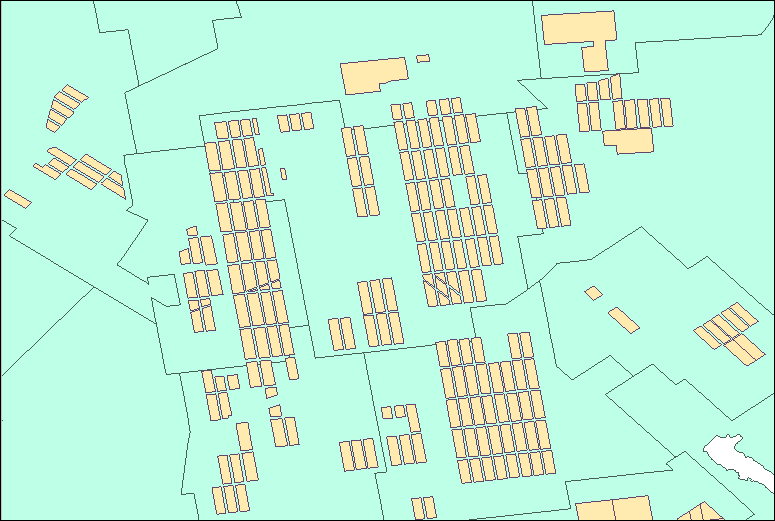
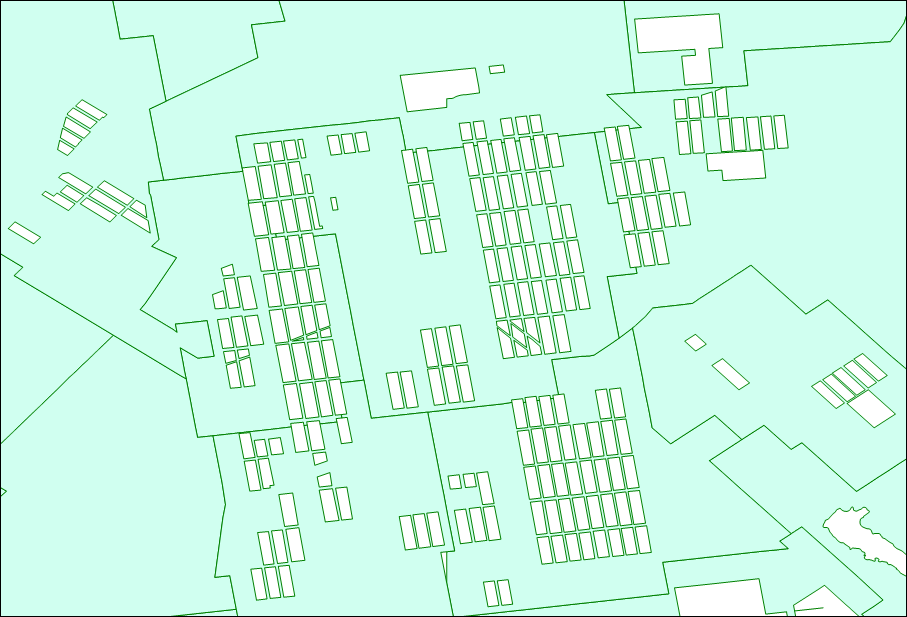
Figure 1: source dataset (blue area) and overlay dataset (yellow area) Figure 2: result dataset after perform "erase"
Source dataset: used to specify the dataset to be analyzed, required. The overlay resource page in iServer automatically lists all the datasets that meet the analysis conditions.
Overlay dataset: refers to the dataset where the overlay objects are located, required. Only supports dataset of region type.
Overlay mode: includes clip, erase, union, intersect, identity, xor and update. Different mode has different restrictions on the type of source dataset and overlay dataset.
Clip, intersect, erase, identity: require the type of source dataset can be point, line, or region.
Update, xor, union: require the type of source dataset must be region.