
Perform Binary Classification on the image, that is, use the deep learning algorithm to determine whether the pixel of the image is an interest category, post-process the classification results, and generate a vector polygon of the interest category. The Binary Classification function interprets the image at a fine granularity, generates vector boundaries, and counts their Spatial Info. It is usually used to obtain a single land type with obvious characteristics such as roads, rivers, and buildings.
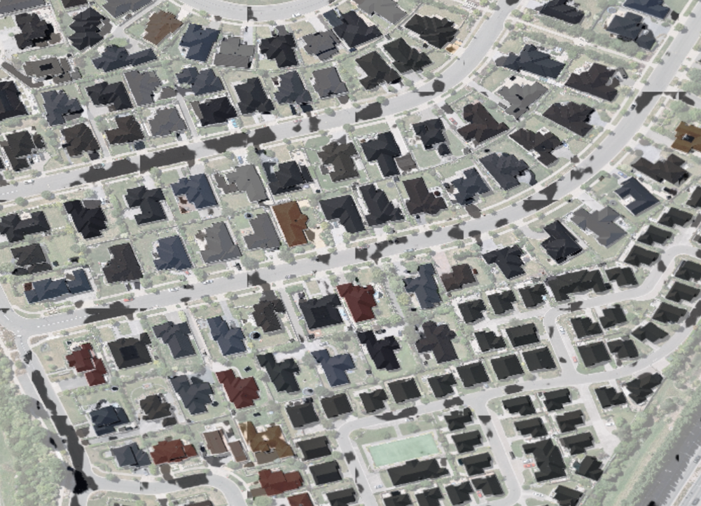
Figure 1: Original Image Figure 2: Superimposed Building Classification Results
Image Data Source: required parameter; specify the Datasource path of Image Dataset for analysis, such as C:\Data\Image.udb. Currently, only three formats are supported: udb, udbx, and tiff. It can also be specified by selecting a registered Dataset.
Image Dataset: a required parameter, specifying the Image Dataset Name word to be analyzed, such as "dsm". When the input Data source is "tiff", this parameter does not participate in the analysis.
Model File: a required parameter, which is the path of the trained Model File for analysis, such as C:\Data\models.sdm. It can also be specified by selecting a registered model.
Slice offset value: optional parameter, the offset pixel value of the image slice (in the Binary Classification process, due to the structural characteristics of the convolutional neural network, the data prediction of the slice edge will be insufficient, and in order to improve the prediction quality, the slices need to be overlapped). This parameter is in the unit of pixel. The default value is 0.
User-defined Result Datasource Name: optional parameter. Check this option to specify the Datasource Name stored in Analyst Result, such as "Result". Datasource will be created when it does not exist.
Result Dataset: optional parameter, output Binary Classification Resulting dataset name. The default is "binclassify_result".
Publish Result as Map Service: Select this option to publish Binary Classification Result as Map Service.
Publish Result as Data Service: Select this option to publish Binary Classification Result as Data Service.